We offer survey services for mapping and locating underground networks and potential buried residues and structures with methodologies included in non-destructive technologies. Such a service that provides real-time information, the cost of researching the damage and the risks of cutting a cable or breaking a pipe is negligible.
Using buried residue detection methods and structures utilizing technologies such as 3D Scanning and Georadar as well as the capabilities of Photo Interpretation and Remote Sensing and digital editing of remote sensing GIS environments, we provide a complete suite of services with .
Our Specialized Tools
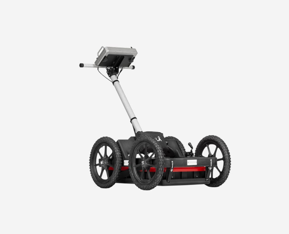
MALÅ Easy Locator Widerange
MALÅ HDR technology is faster, offers the best data resolution, and has significantly better penetration depth than competitive products.
Due to the real-time sampling technology, antenna design and pulse generator, HDR offers much broader bandwidth, producing both higher resolution and better depth penetration at comparable centre frequencies. The HDR technology is ultra-fast and will stack each data point up to thousand times, drastically improving signal to noise ratio. The MALÅ Easy Locator widerange series is the gold standard for GPR data quality.
Application Areas
The MALÅ Easy Locator widerange series is focused on utility locating and mapping but can also be used for a range of different applications, such as:
- Utility locating and mapping
- Bedrock mapping
- Road investigation
- Underground Storage Tank (UST detection)
- Sinkhole detection
- Landfill studies
- Cultural heritage mapping
- General site investigations

Lippmann 4point light 10W
Our high resolution earth resistivity meter 4point light 10W provides quantitative information about induced polarity (IP) of the soil. It measures the phase shift between the current injected into the ground and the voltage seen at the potential electrodes. It has adequate power to drive Schlumberger soundings up to L/2 = 1000 m.
Application Areas
- Groundwater prospecting
- Mining
- Environment
- Induced polarization
- Near surface geophysics
- Lab measurements
- Examination of building materials
- Archeology


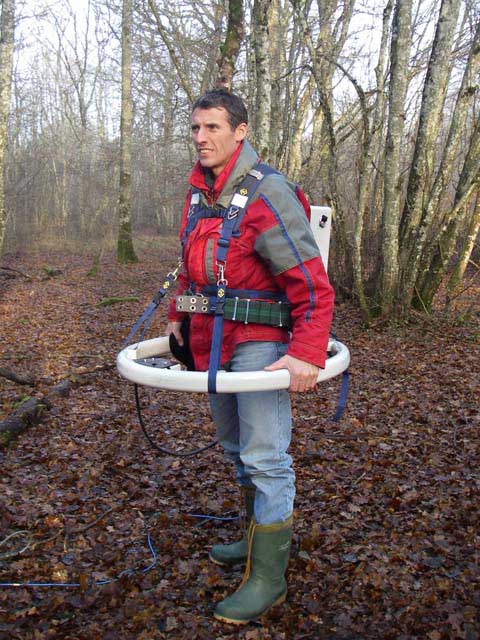
The Ground Radar KS700
The KS700 has been designed for cavity detection. It is a ground radar and works on the principle of “FMCW”.
The ground radar locates of 0-40 m in the solid rock bodies.
- Portable ground penetrating radar
- 2D -spot analysis
- 3D analysis on site
- simple control
- battery operated
- USB interface
- Ready at any temperature
- To 40m deep localization
Application Areas
- Use in archeology with metal detecting
- Investigation of contaminated sites
- Underground exploration for construction projects -especially for cable, pipe and manholes exploratory
- Exclusion of risk in mining damage and sinkholes
- Localization of old underground rooms, tunnels, tunnels, old paths and more


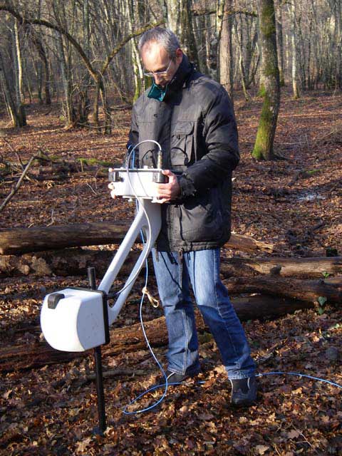
CMD – MULTIDEPTH ELECTROMAGNETIC CONDUCTIVITY METERS
Applications :
Geological and geotechnical survey, agriculture, archaeology, groundwater protection, environmental monitoring, raw material prospecting, metal object and network detection.
Large family of CMD electromagnetic conductivity meters is designed for survey depth ranges from 0.15 to 60 m. Used contactless method allows fast measurement of conductivity and inphase under all field conditions (including very dry and icy ground). Probes are equipped with 1, 3 or 6 receivers with excellent temperature stability. This way makes high resolution depth graded mapping as well as imaging of sections possible and useful for wide range of walking and moving applications.
- Multi-depth profiling and mapping (0.15 – 60 m)
- Standard or custom-made probes (1 or 3 or 6 receivers)
- Fast sampling (up to 10 Hz), high temperature stability
- One control unit for all probes (B/W or colour display)
- Simple operation, optional smartphone app
- Manual and continuous measuring modes with GPS
- Two Bluetooth channels (for probe and external GPS)
- Real-time clock, map preview of area coverage
- Data download via USB or flash disk
- Rechargeable Li-Ion battery lasts for 2-3 working days
- Lightweight and rugged design


Syscal Pro
The Syscal Pro is an all-in-one multinode resistivity and induce polarization sounding and profiling system for environmental and engineering geophysical studies. The Syscal Pro gathers a 10 channels receiver and a 250 W internal transmitter which make it the more powerful system of the Syscal range.
Compact, easy-to-use and field proof, the Syscal Pro measures both resistivity and chargeability. It is ideal for environmental and civil engineering applications such as depth-to-rock determination, weathered bedrock mapping. With a maximal output voltage of 2000Vpp, the Syscal Pro is very adapted to detect deep fault in fractured aquifers or to characterize the depths and thickness of the groundwater aquifers.
Several options are available with the Syscal Pro such as the Fullwave mode to record complete time series of measured voltages during an acquisition and the Remote mode that allow for controlling automatically the Syscal Pro through a PC for monitoring purposes.
Several additional accessories are also available to use the Syscal Pro to increase the transmitter power to 1200 W, to perform measurements in borehole, to test the 12V batteries, to communicate via wifi or to upload data on a SD card.
Application Areas
Water ressources
- Locate conductive fault in fractured acquifere
- Assess water table characteristics
- Characterize salt water wedge extension in groundwater
Environment
- Monitor pollution
- Detect leaks and monitor degradation in waste disposal
- Locate and image buried structures
Natural hazard
- Detect and characterize cavities
- Assess landslide extension and volume
- Detect and locate clayey layers for geotechnical application


Promis 10
The Promis device is a multi-frequency, multi-spacing 3 component slingram type EM System for sounding and profiling the soil. This system features a transmitter loop to produce a primary magnetic field that will induce eddy current in conductive materials. These eddy currents will generate a secondary magnetic field that will be measured with the receiver loop. This system measures the in-phase and the out-of-phase components of the secondary magnetic field.
The length between receiver and transmitter loops range between 20 m and 400 m for standard applications. This system allows to work with 10 frequency ranging from 110 Hz to 56 kHz. The depth of penetration depends on the spacing and on the frequency. It is usually considered as of the order of half the spacing. A profiling can be performed by moving both the transmitter and the receiver to the next station.
Traditional HLEM slingram systems only measure the vertical component of the magnetic field (Hz). The Secondary/Primary magnetic field ratio being linked to the soil conductivity, they allow to locate conductive structures intersecting a profile. The 3 components measured by the PROMIS system permits to give an information on the direction (strike) of the structure (because the magnetic field remains perpendicular to the eddy current directions).
With the Promis system, the productivity is increased by an automatic processing (measurement automatically carried out for the set of frequencies, without required communication between the two operators). Two leds indicate when the transmitter has to move to the next station. Two inclinometers correct for deviations from horizontal position and a GPS unit can be connected. The selection of the frequencies and the stacking parameters is made at the beginning of the survey for optimizing the field work.
The data can be transferred, edited, filtered, plotted and exported with the EMSYS software provided with the instrument.
Application Areas
Water ressources
- Locate conductive fault in fractured acquifere
- Assess water table characteristics
- Characterize salt water wedge extension in groundwater
Environment
- Monitor pollution
- Detect leaks and monitor degradation in waste disposal
- Locate and image buried structures
Natural hazard
- Detect and characterize cavities
- Assess landslide extension and volume
- Detect and locate clayey layers for geotechnical application
Mineral exploration
- Detect dike type orebody
- Deep orebody or detection
- Detect lens type orebody